About the product
SIS is the one-stop-shop for GIS in Zimbabwe.We are a geospatial firm which provides cutting-edge technology-based solutions, enterprise management systems and multidisciplinary professional services that increase accuracy and improve efficiency across the full spectrum of government departments and associated institutions, local municipalities as well as the broader public and private sectors in general. Our unique map-based solutions and services are geared towards enhancing sustainable organizational performance and delivery.
At SIS through the use of geographical relationships inherent in an organization’s raw analytical data we are able to establish the capacity to organize and understand complex phenomena to better aid decision making in certain locations.Our GIS-Enabled Utility Asset Enumeration helps organizations to identify, capture and bring into a geospatial database all utility assets including their geographical positions within the distribution network. This gives the organization the ability to have a 360-degree overview of all their assets.
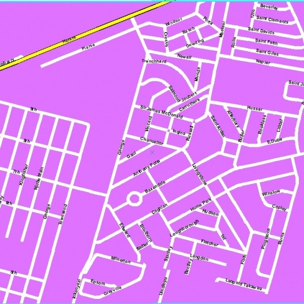
The best way to graphically portray a geographic area is non-other than on a map. Surveytech Information Systems is a producer and reseller of geographical data and maps. Several maps and datasets are available for Zimbabwe and the world. We deliver datasets such as administrative boundaries, streets, road networks, Points Of Interest, city maps, satellite images, drive time tables, address lists, distance matrices, etc.
We also provide custom field data collection service. If you're looking for map data for use within a large project such as a website, GIS or mobile application project then please contact us to talk your requirements through with our experienced mapping team.
At SIS through the use of geographical relationships inherent in an organization’s raw analytical data we are able to establish the capacity to organize and understand complex phenomena to better aid decision making in certain locations.Our GIS-Enabled Utility Asset Enumeration helps organizations to identify, capture and bring into a geospatial database all utility assets including their geographical positions within the distribution network. This gives the organization the ability to have a 360-degree overview of all their assets.
The best way to graphically portray a geographic area is non-other than on a map. Surveytech Information Systems is a producer and reseller of geographical data and maps. Several maps and datasets are available for Zimbabwe and the world. We deliver datasets such as administrative boundaries, streets, road networks, Points Of Interest, city maps, satellite images, drive time tables, address lists, distance matrices, etc.
We also provide custom field data collection service. If you're looking for map data for use within a large project such as a website, GIS or mobile application project then please contact us to talk your requirements through with our experienced mapping team.
Contact with supplier