About the product
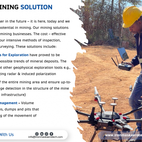
Drone Magnetic Surveys for Exploration have proved to be effective in mapping of possible trends of mineral deposits. The insights that complement other geophysical exploration tools e.g., seismic, ground penetrating radar & induced polarization
Mapping & Surveying of the entire mining area and ensure up-to-date site plans and change detection in the structure of the mine ( landslides, damages to infrastructure)
Pit & Pile Inventory Management – Volume assessments of stockpiles, dumps and pits that allow for reliable tracking of the movement of material.
Contact with supplier
